
Swiss Alps Jungfrau-Aletsch
Schweizer Alpen Jungfrau-Aletsch
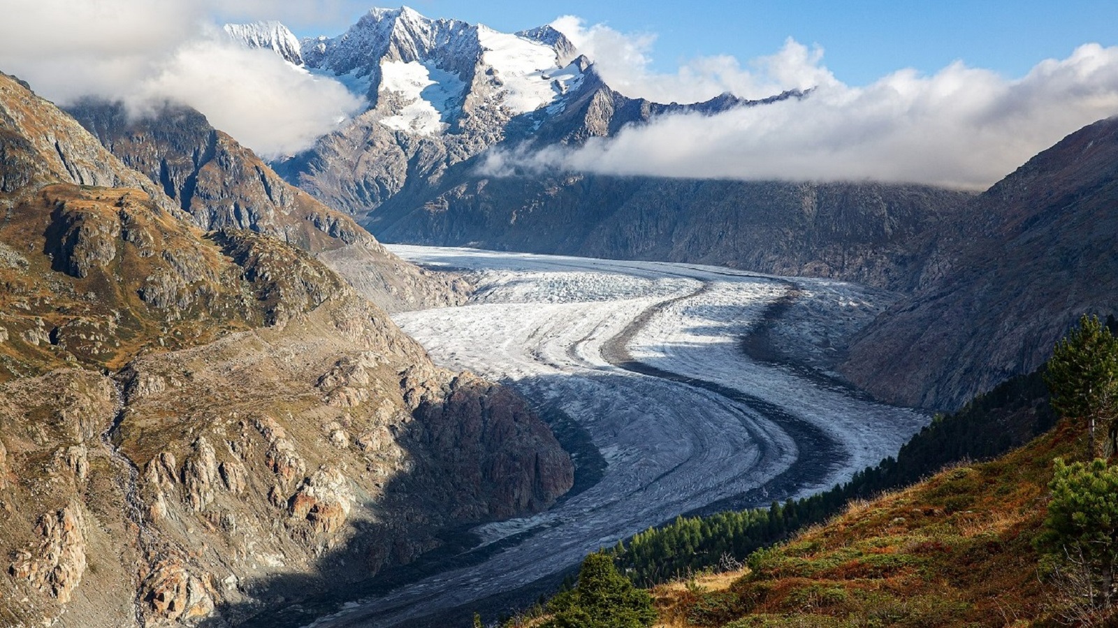
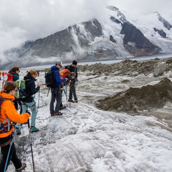
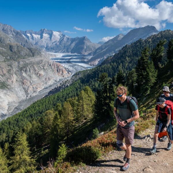
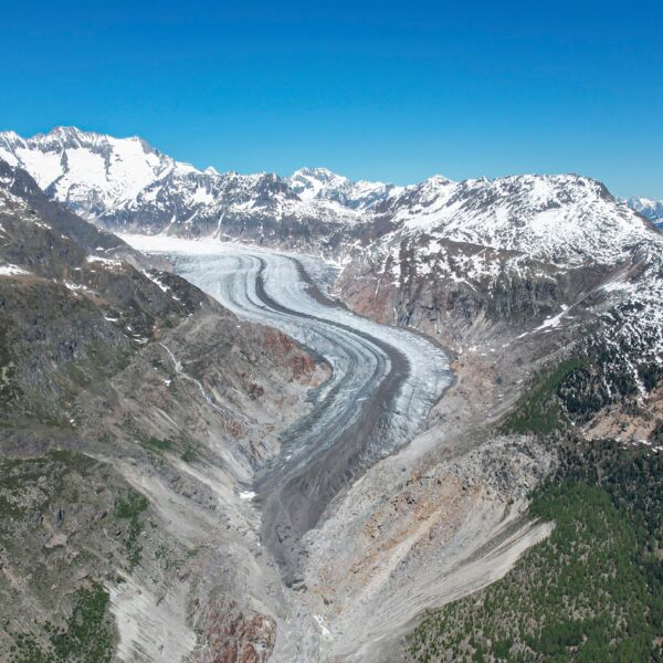
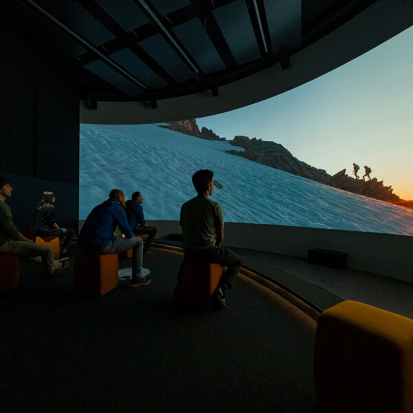
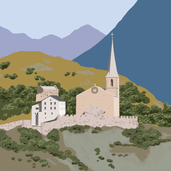
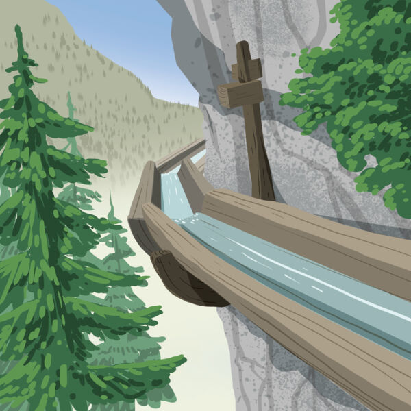
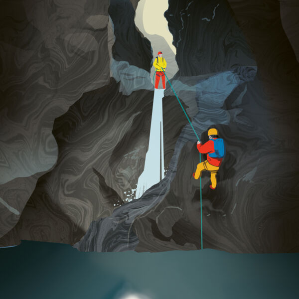
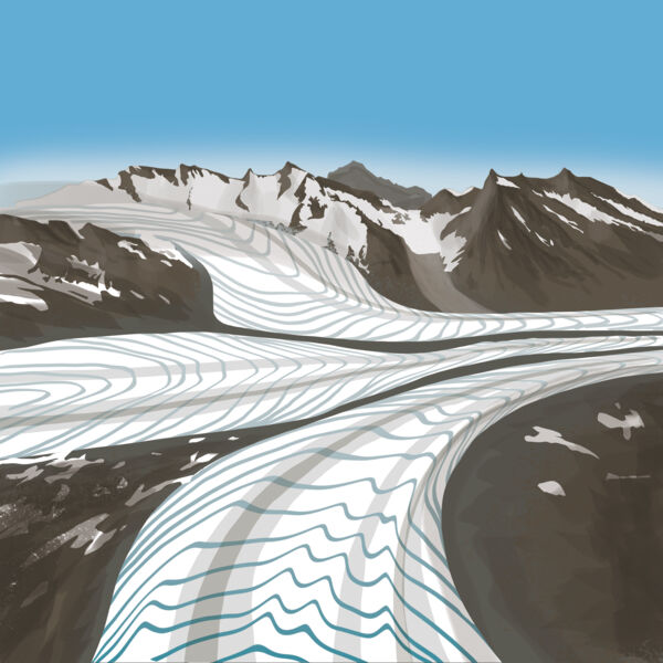
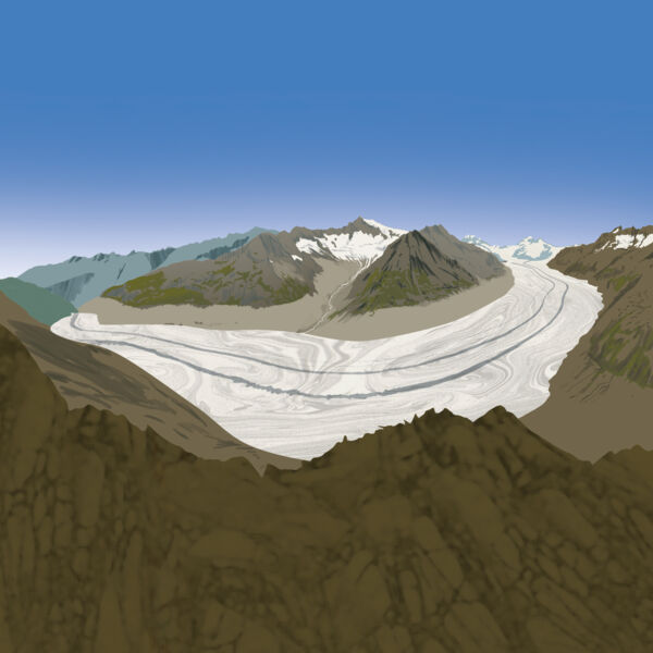
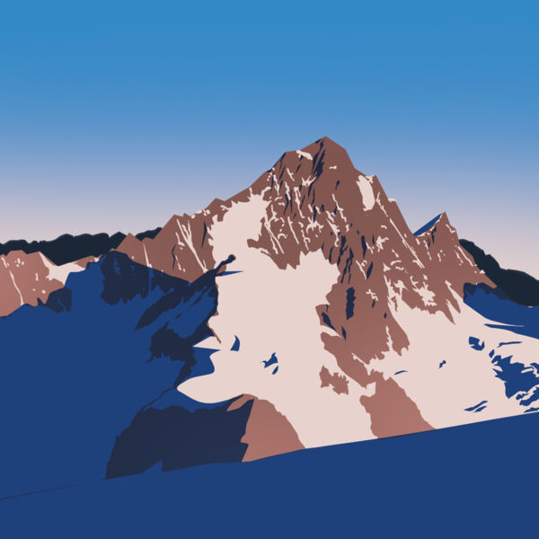
Imposante Bergketten, urige Täler und das grösste zusammenhängend vergletscherte Gebiet der Alpen. Das Welterbe gehört zu den spektakulärsten Hochgebirgslandschaften der Welt und repräsentiert mit Eiger, Mönch und Jungfrau sowie dem grossen Aletschgletscher auf 824 km2 das Herz der Alpen. Die Region vereint die unterschiedlichsten Lebensräume vom Gletscher bis zur Steppe und zeigt die Auswirkungen des Klimawandels eindrücklich auf. Eine dementsprechend wichtige Rolle spielte die Landschaft in der europäischen Literatur, Kunst, dem Bergsteigen und dem alpinen Tourismus. Nur wenige andere Orte auf diesem Planeten können eine vergleichbare Vielfalt an Kontrasten und Kostbarkeiten bieten.

2001 (2007 Erweiterung)
vii, viii, ix
Bern und Wallis
Schweizer Alpen Jungfrau-Aletsch
Schweizer Alpen Jungfrau-Aletsch
Schweizer Alpen Jungfrau-Aletsch
Schweizer Alpen Jungfrau-Aletsch
Schweizer Alpen Jungfrau-Aletsch
Schweizer Alpen Jungfrau-Aletsch
Schweizer Alpen Jungfrau-Aletsch
Schweizer Alpen Jungfrau-Aletsch
Schweizer Alpen Jungfrau-Aletsch
Schweizer Alpen Jungfrau-Aletsch
Schweizer Alpen Jungfrau-Aletsch
Schweizer Alpen Jungfrau-Aletsch
Schweizer Alpen Jungfrau-Aletsch
Schweizer Alpen Jungfrau-Aletsch
Schweizer Alpen Jungfrau-Aletsch
Schweizer Alpen Jungfrau-Aletsch
Schweizer Alpen Jungfrau-Aletsch
Schweizer Alpen Jungfrau-Aletsch